


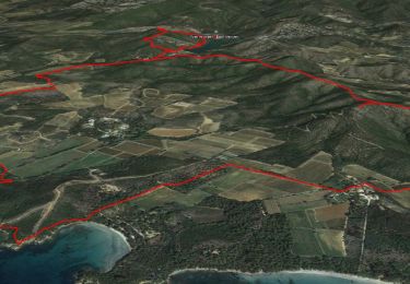
14,3 km | 19,8 km-effort

Usuario


Aplicación GPS de excursión GRATIS
 SityTrail
IGN / Institutos geográficos
SityTrail World
El mundo es suyo
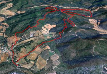
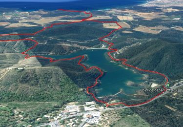
Ruta Senderismo de 16,5 km a descubrir en Provenza-Alpes-Costa Azul, Var, La Londe-les-Maures. Esta ruta ha sido propuesta por Christiancordin.
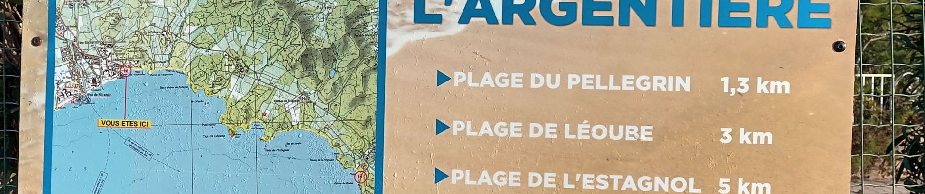
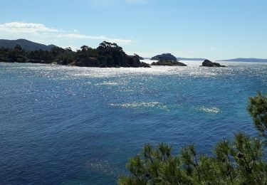
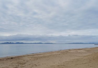
Départ PK de l'Argentière, plage du Pellegrin, plage de Léoube, cap de Léoube, plage de l'Estagnol, ilot de l'Estagnol, pointe de la Vignasse.


Senderismo
Senderismo
Senderismo
Senderismo
Senderismo

Senderismo
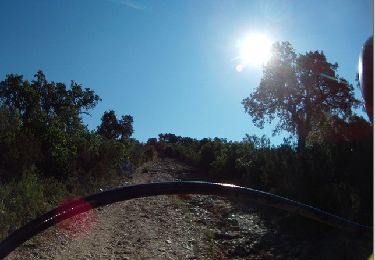
Senderismo
Senderismo
Senderismo